Uncategorized

Bigger, Bolder CMaps Analytics Cloud

By June 26, 2014No Comments

CMaps Analytics Cloud, organizations using our location intelligence suite will gain new capabilities that will increase performance and utility without introducing complexity or cost! Our commitment to deliver extremely simple solutions for delivering location analytics to everyone in your organization requires a careful balance of cloud and on-premise technology.


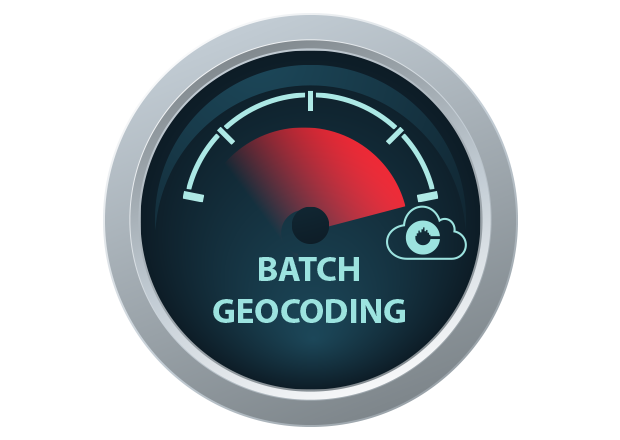
Batch Geocoding: Administrative Areas
From country, to state, to postal code, if your organization aggregates data by geographic heirarchy, you should have instant access to geo-visualization. Simply load your data directly from your data warehouse or database and the map data appears instantly; no performance lag, no complicated mapping, no hassle!
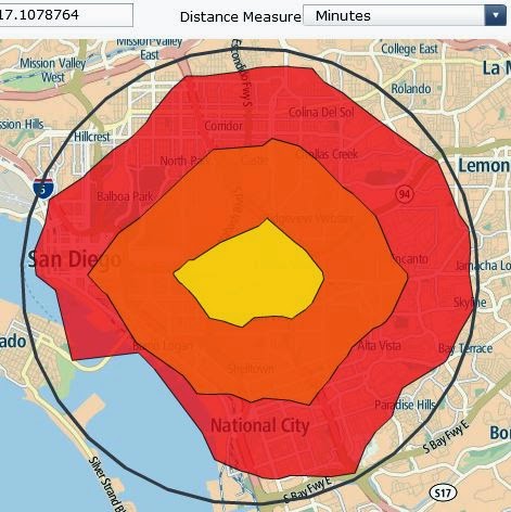
Drive Distance and Time
While “as a crow flies” radius view makes sense for rough estimates and calculations, distance is never measured in perfect circles. Unless your employees and assets travel by helicopter, you may be over reaching areas by using a radius and mis-calculating information. As your requirements get more sophisticated, so are our methods for providing accurate analysis. New CMaps Analytics drive distance service provides distance and time-based estimates using an algorithmic approach with OpenStreet road network data. CMaps Analytics enables dashboard applications to then use drive time / distance polygons to query your data (requires services and database that support spatial queries). View Demo
]]>