With the release of CMaps Analytics Designer in Jan 2015, drive time polygons is a new premium layer. The service that powers this native layer is also made available to…

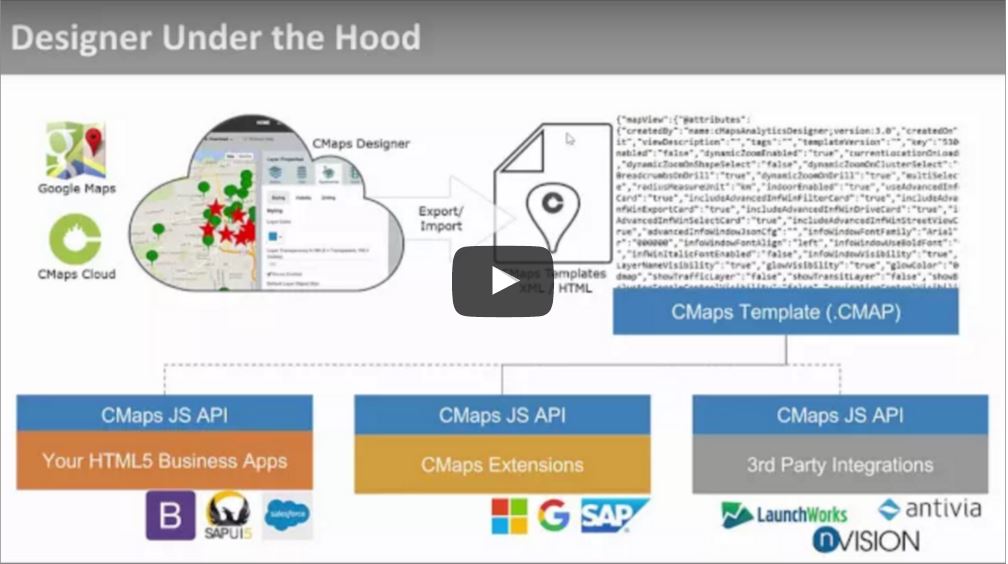
Saving and Download – How Does it Work? CMaps Analytics Designer is built to simplify the map design process while securing your information where you need it. In this case,…
[ezcol_2third][/ezcol_2third] [ezcol_1third_end] Would you prefer to schedule one on one instruction / rapid prototyping session with one of our experts? Click here to launch our meeting scheduler [/ezcol_1third_end]
Create Layer Points Points are typically represented as people, facilities and assets on the map. They can be latitude,longitude, addresses, cities, or even represent administrative areas like zipcodes. In all…
The advanced tab is designed for developers who are integrating CMaps Plugin directly inside of third party applications. JavaScript Stubs for Events & Properties Events Enabling advanced properties will generate…
Web Map Service (WMS) Layers WMS, or Web Map Service, is a standard protocol for serving geospatial images from a central WMS server. These images, commonly referred to as map tiles,…
Base Layer Map Imagery Style Modify the standard Google Maps default imagery style. You can utilize standard styles like Roadmap, Satellite, Hybrid (satellite with roads), Terrain, and additional styles like…

