Do Only GIS Folk Understand the Term Location Intelligence?” reinforcing from a different perspective what we have learned in the Business Intelligence space.
As I travel and present best practices for Location Intelligence with BI professionals, I am greeted with confusion and excitement.
[ezcol_1half]
Confusion
The words Location Intelligence, Location Analytics, and Geographic Information Systems (GIS) mean absolutely nothing to most business stakeholders, analysts, and even Business Intelligence pros, even with all of the marketing dollars being pumped into #LocationIntelligence.
[/ezcol_1half] [ezcol_1half_end]
Excitement
Industry and line of business specific stories typically inspire and excite, but still leaves BI pros with more questions than answers. The key to driving a meaningful discussion is to level set expectations and clarify the difference between geospatial visualization, analysis, and analytics.
[/ezcol_1half_end]
Top Feedback from Customers:
“Your Location Intelligence story sounds great but how get started in my organization?”
Here is one way to get started:

My Answer…
The answer is simple… First people, then process, then technology. It is a winning approach that is not easy, but never loses in the long run. Many of the best practices, tools, and methodologies are highlighted on our
Analytics on Fire community.
[ezcol_1third]
PEOPLE
Find a business stakeholder (unless you are the business stakeholder) who is responsible for an important process that has direct impact to the bottom line and willing to champion creation of a Business Intelligence solution (notice how I did NOT say Location Intelligence). In many cases this already exists.
[/ezcol_1third] [ezcol_1third]
PROCESS
Identify the key metrics used to track performance for this process or an initiative to solve a critical business problem that your organization faces. (
How to Identify and Remove Useless KPIs).
Will new additional supporting spatial analytics provide overwhelming value to support tracking, analyzing, and/or improving performance of this metric? “Value” could be better visibility to problems or opportunities, faster delivery of actionable information, or automated delivery of information to replace a process that is consuming. The word “Map” or “GIS” have are irrelevant at this stage…
[/ezcol_1third] [ezcol_1third_end]
TECHNOLOGY
This is the final step where you can finally start talking about GIS, Maps, geospatial analytics, and all of the tech lingo required to execute on your plan. In this final phase to create your execution plan, you need to ask the right educated questions from your internal IT staff, database administrators, technology providers and GIS / BI implementation experts.
[/ezcol_1third_end]
NEED HELP ASKING THE RIGHT QUESTIONS?
“
Mapifying your KPIs,” where we start to ask leading questions at the tail end of this step to identify the viability of using using spatial analytics. With the right plan, you can ask the right questions, and ultimately seek the correct data and tools to address your business pains. Join us for a Webinar on Jan 21st where we will highlight
3 steps to Mapify your KPIs.
Approaches that will hurt your chances for success
#1 Starting Tools, Data, and Maps
Having experience selling and integrating mapping solutions inside of Business Intelligence for the last 8 years and driving more than 500+ technical discussions, we learned this lesson the hard way!
Starting a spatial analytics conversation with tools and data in search of a problem is one approach that CAN work, but in my experience those are fast moving, agile organizations where IT and busienss stakeholders are joined at the hip, have a proven track record for success.
#2 Not having enough knowledge to ask the right questions
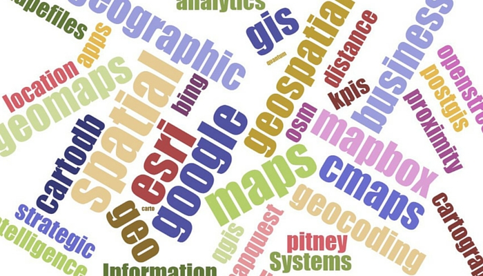
ESRI, Alteryx, Pitney Bowes, CartoDB, Google Maps, MapBox, our own cloud mapping tools
CMaps Analytics, and many others provide lots of great features and functionality to deliver geospatial visualization, analysis and analytics. Not all solutions are equal and require consideration of skills required, capabilities, cost, data, and other factors (like existing investments) to pick the right tool for the job. Additionally, geospatial tools that ship with BI platforms like Tableau, SAP, Oracle, Microsoft and others offer tools are often limited so understanding landmines that will inhibit your quick wins and long term success is important.
If you approach the Location Intelligence world not knowing what questions to ask, you may find yourself having to change your people and process to fit your technology, which will dramatically decreases your chances for success.
AUTHOR INFO
Ryan Goodman is CMaps Analytics CEO, author, and expert in Business Intelligence. Ryan applies over 12 years designing enterprise dashboards and apps to his leadership role shaping
CMaps Analytics’ Location Intelligence platform strategy. Today, Ryan is focused on pushing wider adoption of Business Intelligence through visualization and Location based services.]]>