When you load multiple administrative areas (zip, country, county, etc) as locations into CMaps Analytics, there are many scenarios where duplicate entries can exist. For example, Georgia is a country and US state. Similarly, 5 digit formatted FIPS codes mirror a number of zip codes. CMaps Analytics automatically resolves these scenarios dynamically, to ensure your data maps to correct locations on the map.
Here is a detailed video to show you how to build multi-layer drillable administrative maps:
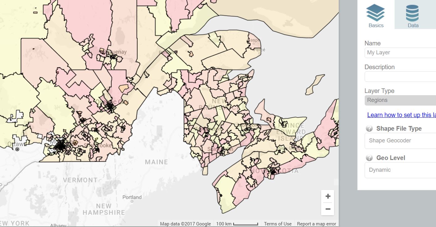
Data Availability
Currently CMaps Analytics supports country, province/ state, US county and zip and Canada postal FSAs. In late Jan we have cued up US congressional districts, metropolitan areas, and neighborhoods. Have specific administrative areas that you would like to use with CMaps Analytics? Let us know and we can bump it up on our list as we continue to pump CMaps Analytics cloud full of boundary data.]]>