


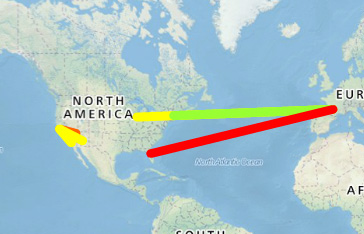
Use the polyline feature to draw lines or multi point segments. DOWNLOAD- Login Required
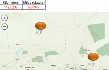
Dynamically calculate the distance between two or more locations on a map. DOWNLOAD- Login Required
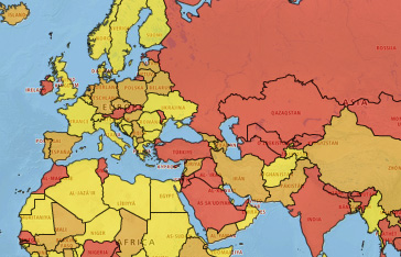
Color countries using alert or heat map logic driven from your specific scale requirements. Learn more about Choropleths / Heatmaps DOWNLOAD- Login Required DOWNLOAD
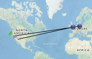
Show the route / order of locations in a sequence by connecting lines between points and changing the start and end via dynamic icons. DOWNLOAD CMaps Plugin Template